Imagine that you are on a kayaking trip in an unfamiliar region. It has been pouring all night and in the morning all the rivers in the valley are too high. Your paddling schedule is ruined and you want to find anything worth paddling right here, right now.
Normally you would need a lot of time to browse a map, read guidebooks and blogs, check any online gauges and ask your friends on Facebook. The whitewater.guide is an all-in-one mobile app that helps you to make your choice quickly, so you can just go kayaking!
REGIONS
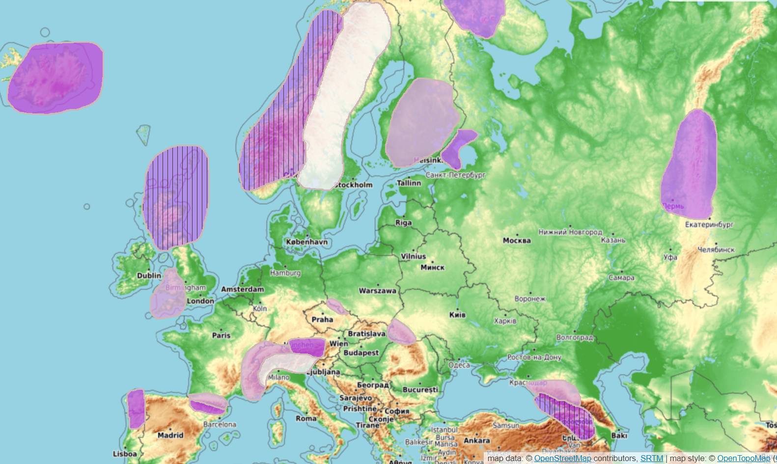
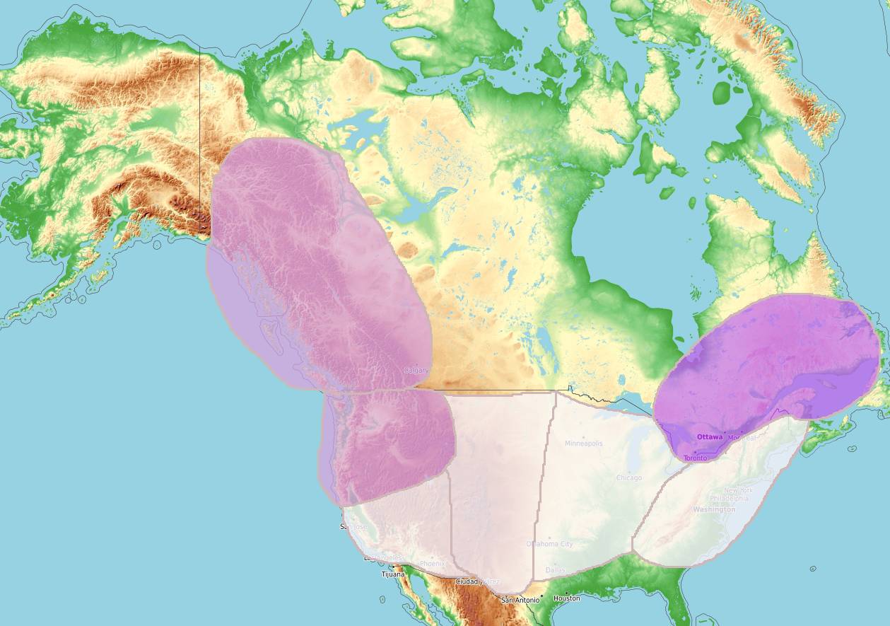
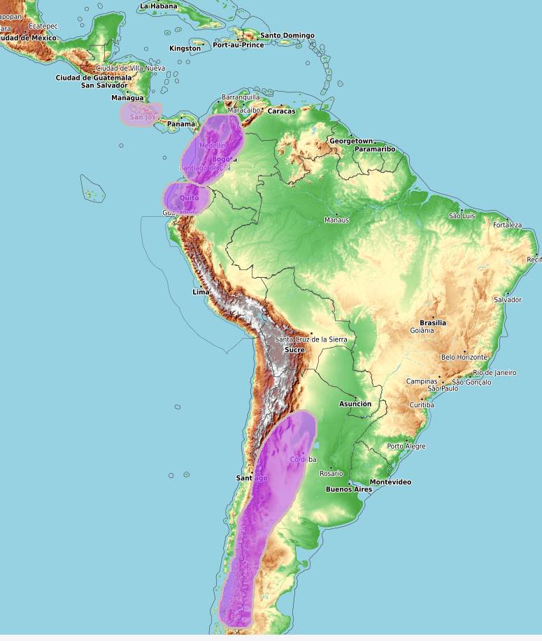
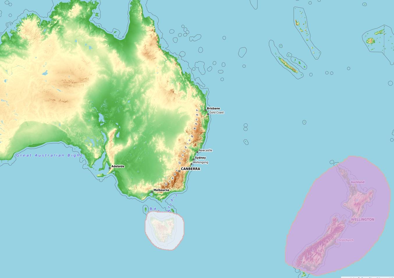
Whitewater.guide is the international solution for river beta and guidebooks. These are the regions we cover.
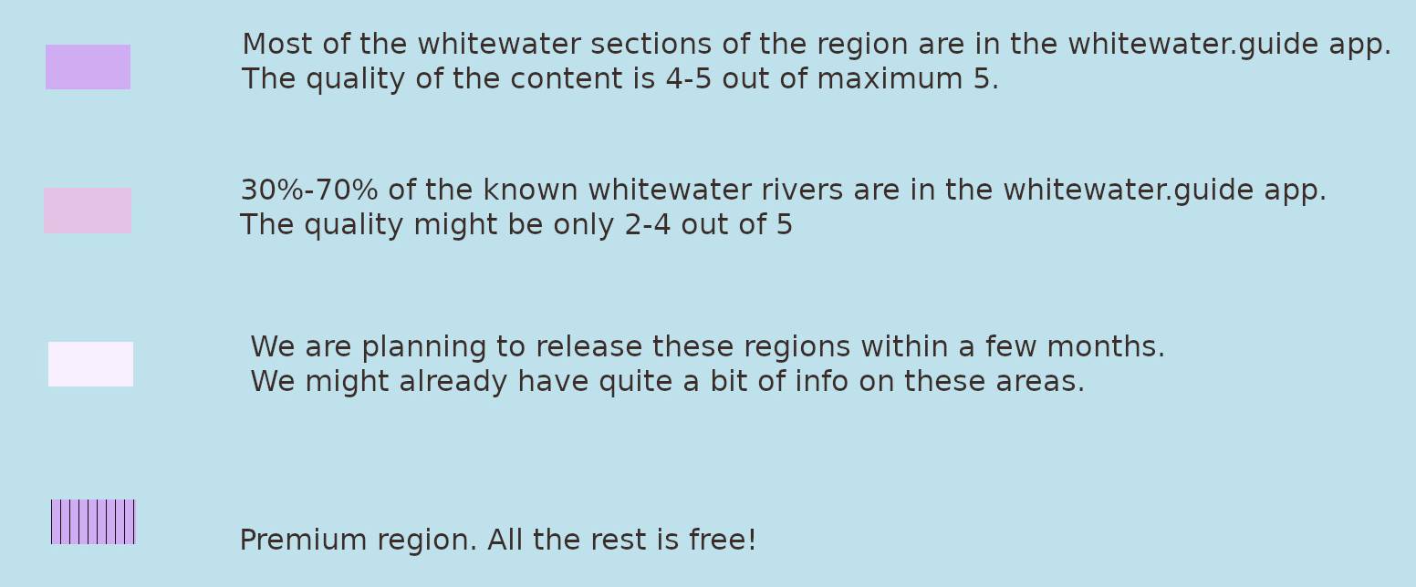
- Complete regions: Scotland*, Quebec in Canada, Norway, Galicia and Portugal, South Pyrenees, Chile and Argentina, Ecuador , Colombia, Iceland, Asia (Tajikistan, Kyrgyzstan, Altai, Meghalaya, Laos), Uganda
- Medium quality of content. Some info is missing. BC in Canada, Costa Rica, Alps (Austria, Germany, Switzerland, France), Northern Pyrenees, Finland, Japan, South Africa and Zimbabwe, New Zealand, Russia, Ukraine, Georgia, Kenya
*There are online water levels in the regions in bold
SO, HOW DOES IT WORK?
A video is worth a thousand words, so check out this screencast.
This video shows how you can find and filter river sections, which information you can find in the app and how you can get to the river.
FEATURES
For now we have implemented only the most essential features we believe every kayaker needs. Check out those core features below. There are many cool things we would like to add to our app, like notifications or favourites.
-
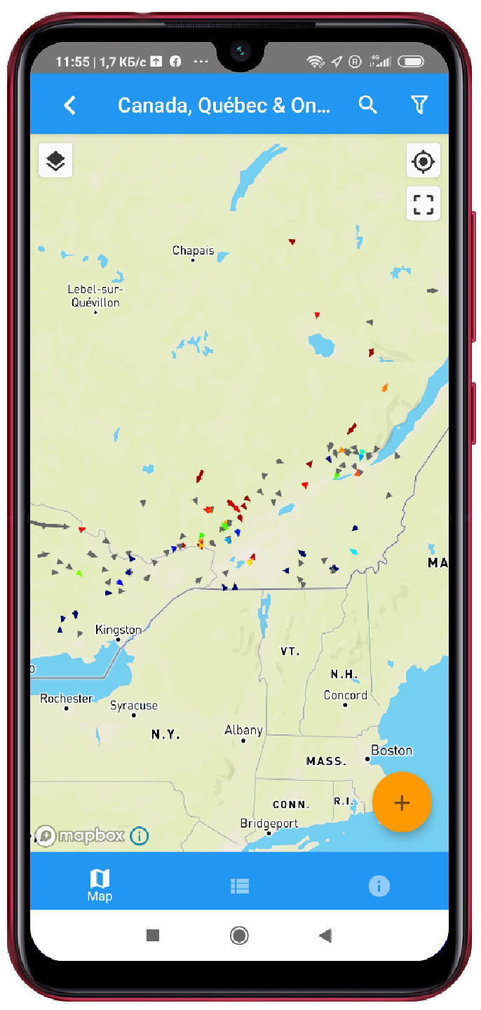
REGION MAP
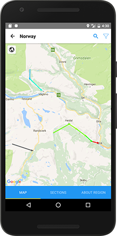
The Region Map is the best way to explore a new region and plan your kayaking trip. On the map arrows are sections and different colors indicate different water levels. It also contains useful points like wild-camping spots and kayak shops.
-
ONE-TAP ESSENTIALS
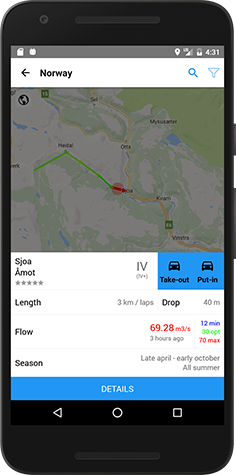
With one tap you get all the essential information about any section - grade, length and current flow. Another tap and the routes to put in or take out are displayed in Google maps.
-
SECTION MAP
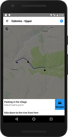
Section maps feature detailed river shapes and many point of interest, like portages, major rapids, alternative put ins, etc...

-
FLEXIBLE FILTERS
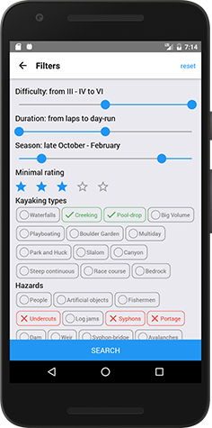
Only interested in class IV+ runs with waterfalls and no portages? No problem! Filters are here to help with narrowing your choice of section to only those you want to run.
-
SECTIONS LIST
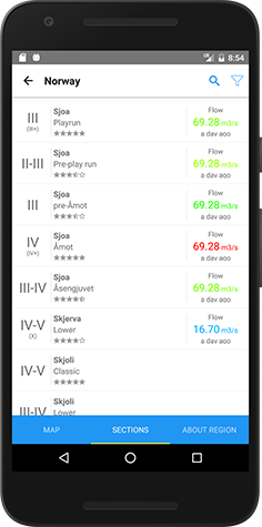
Find sections by names and browse filtered lists to quickly discover all your options.
-
NAVIGATE FROM EVERYWHERE
We realize that all you really want to do is to get to the river, so just find the name in the list and tap the navigation button.
-
GUIDEBOOKS
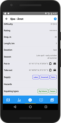
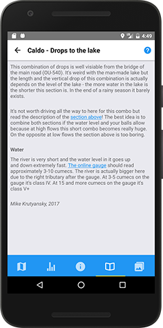
For every section we provide an in-depth description and information table, just like in the good old paper guidebook.
-
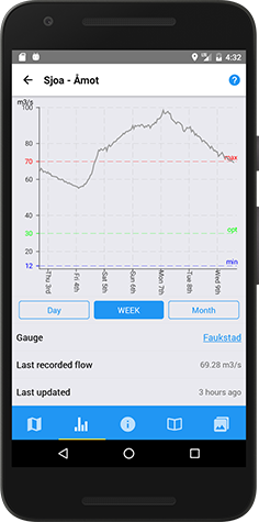
FLOW CHARTS
For every river with an online gauge we provide a water flow or a water level chart.
-
MEDIA
We try to provide informative photos and videos, like a photo of the put in, so you can judge the water level even when there is no online gauge.

-
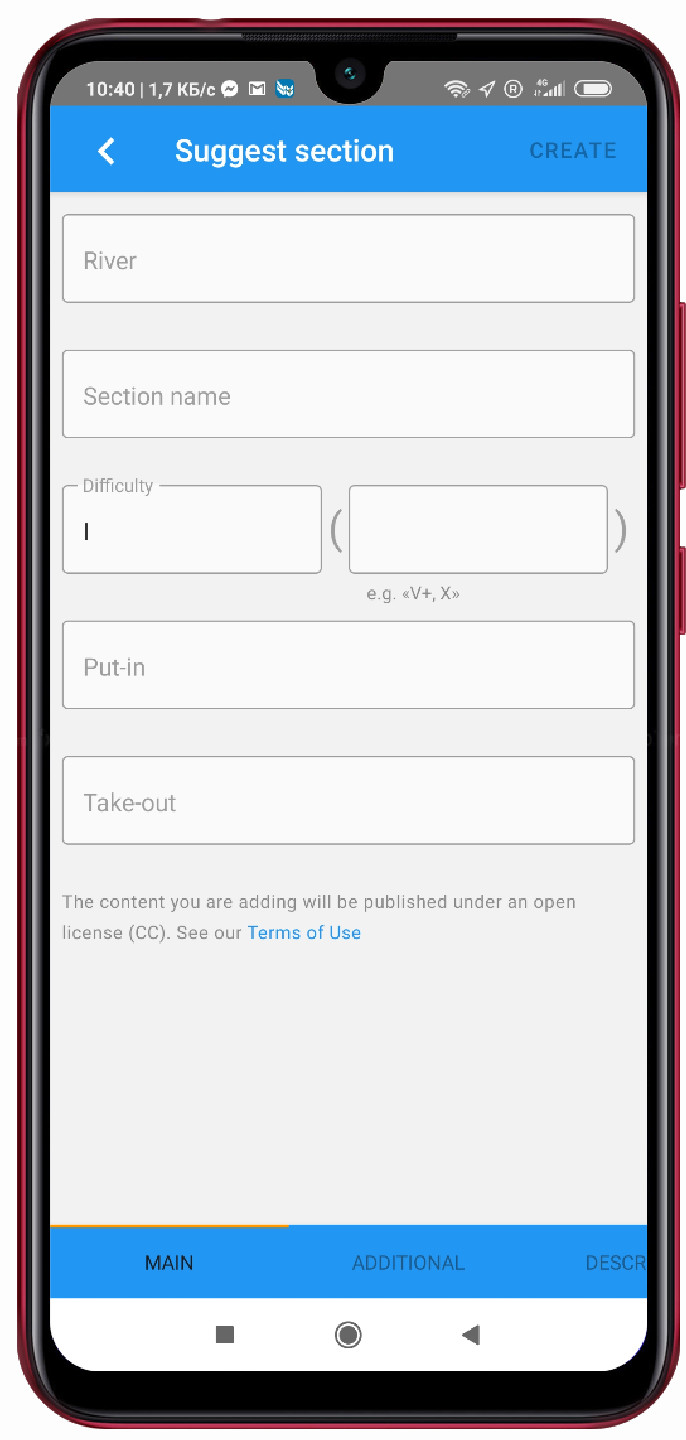
USER SUBMITTED SECTIONS
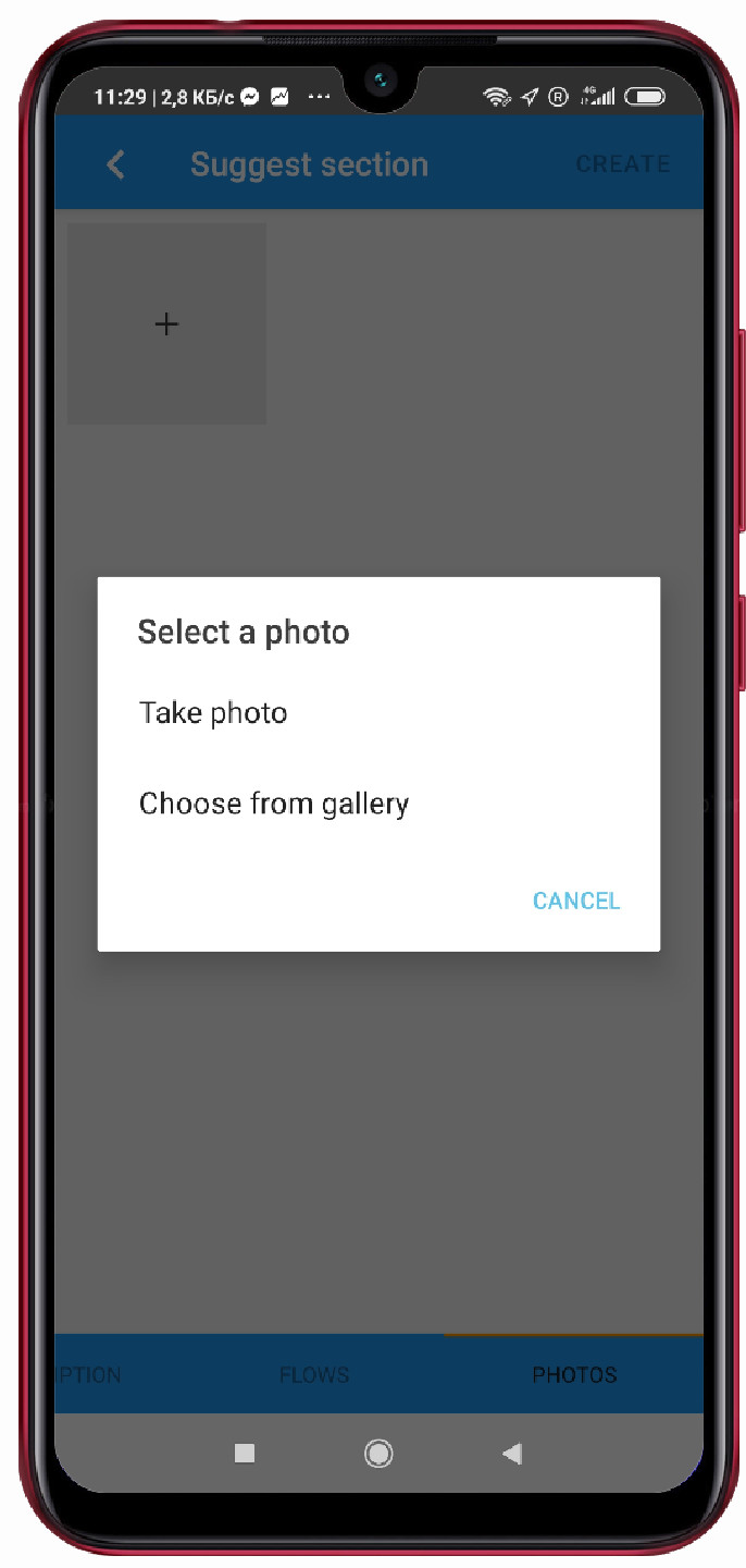
Do we not have your local run in the database? Upload it! It will go through a simple moderation process.
-
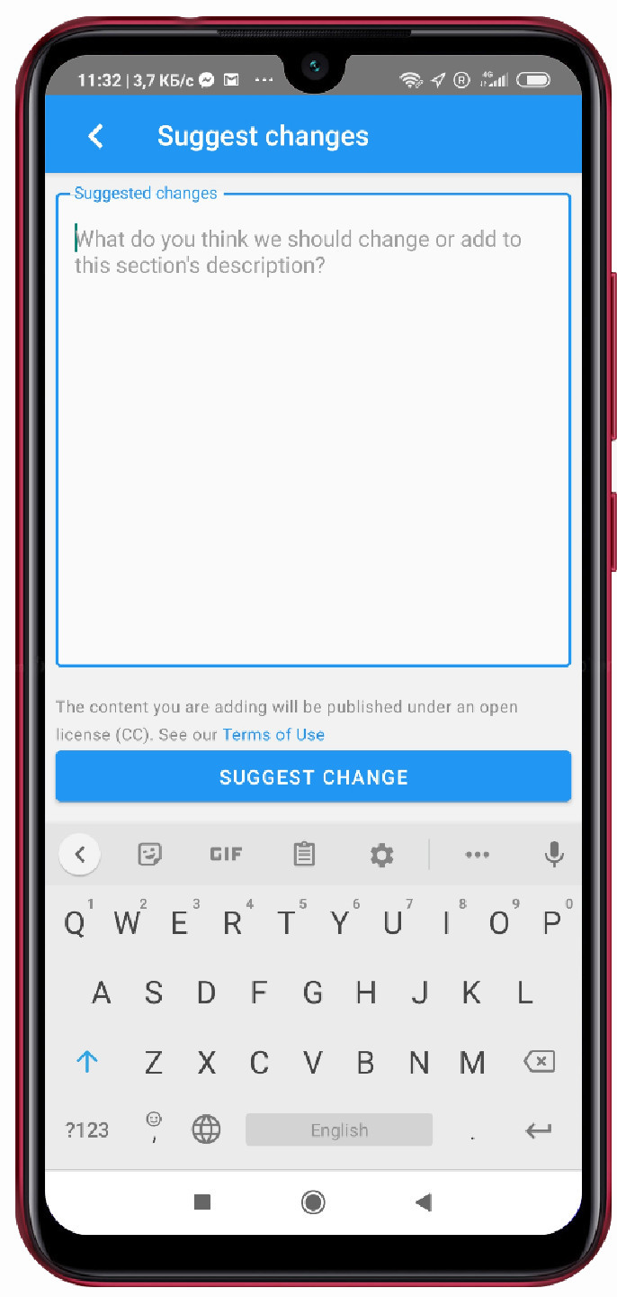
USER SUGGESTIONS
Any user can also submit an edit. Wrong water level reference? A mistake? We'll fix it just let us know.
-
LICENSES
User content is covered by an open Common Creatives license. A lot of other data is covered under the similar license while some is copyrighted. More details in the region descriptions.
ABOUT US

Mike Krutyansky
Kayaker with 15 years of experience. Mike is one of the founders and instructors of a Russian whitewater school. He has organised numerous whitewater trips and expeditions to dozens of destinations around the globe. Mike is managing many websites including few whitewater projects.

Konstantin Kuznetsov
Professional software developer with 10+ years of experience. And a kayaker too.


